
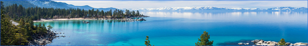
Tahoe North
Alta Alpina Yuba Pass/Gold Lakes Loop
Starting in Sierraville at the Forest Service facility this route climbs Yuba Pass, Gold Lakes Summit and Calpine Summit. Seasonally, there is food and or water in Sierraville, Graeagle, Calpine, and Bassetts. Although Hwys 49 and 89 can carry some traffic much of the route is quiet.. About 69 miles and 4000 feet of climbing.
Route Map
Lemond Loop
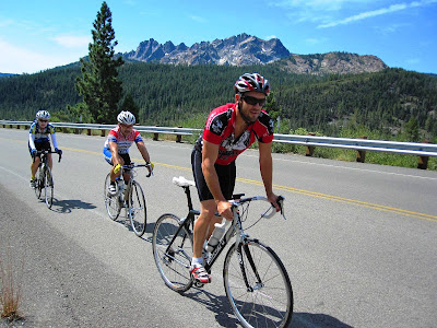
It's a loop, start anywhere. This is one variant of a famous ride as there are many ways to work through the Carson City section. Three main climbs, Spooner, Mt. Rose and Geiger summits, plus smaller climbs add up to 8500 ft in 85 miles. There are many places for food, water and relief. A clockwise direction avoids the long climb up busy and narrow Mt. Rose Hwy from Reno. Very scenic and historic. Bring a camera for this one.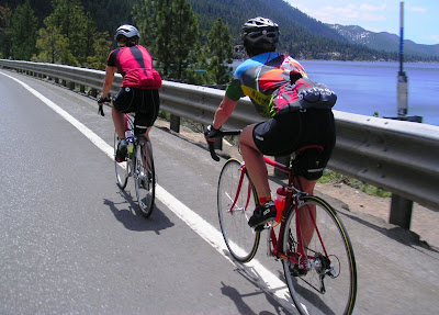
Route Map
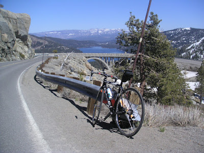
Old Donner Pass Out and Back
Starting at Donner State Park, this route climbs over Old Donner Pass on mostly quiet roads and descends to Cisco Grove Store. On the return trip, a right turn at Soda Springs leads over to Sirene Lakes. Return to Old Donner road for another summit and a great descent. About 3000 ft of moderate climbing over 45 miles.
Route Map
Ward Creek and Barker Pass Roads
Start just south of the bridge over the Truckee River at a dirt pullout on the west side of the road or in the River Trail parking right behind. 89 is a busy road, use the bike trail to get down to Ward Creek Rd. Ward Creek is an easy climb up to homes, loop around and back to 89. Head south on 89 to Barker Pass Road. This ascend to the end of the pavement on top of Barker Pass. Both roads offer a respite from busy Tahoe shore roads. Return back to the lake and use the bike trail to return to the start. About 2500 ft of climbing much of that on Barker Pass. To add 12 very easy and scenic miles, follow the Truckee River Bike Path down the river, up to Squaw Valley Resort and back. This adds only 200 or so feet of climbing.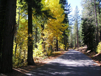
Route Map